
Over time, the layer of salt was buried under a thick layer of mud. But salt has a fairly low density — lower than the layer of mud and rocks underneath which the salt layer lay. So it started pushing up through the overlying sediment and eventually, over millions of years, the salt broke through and formed domes. The salt domes of Dasht-e Kavir are probably some of the best examples of this geological phenomenon.

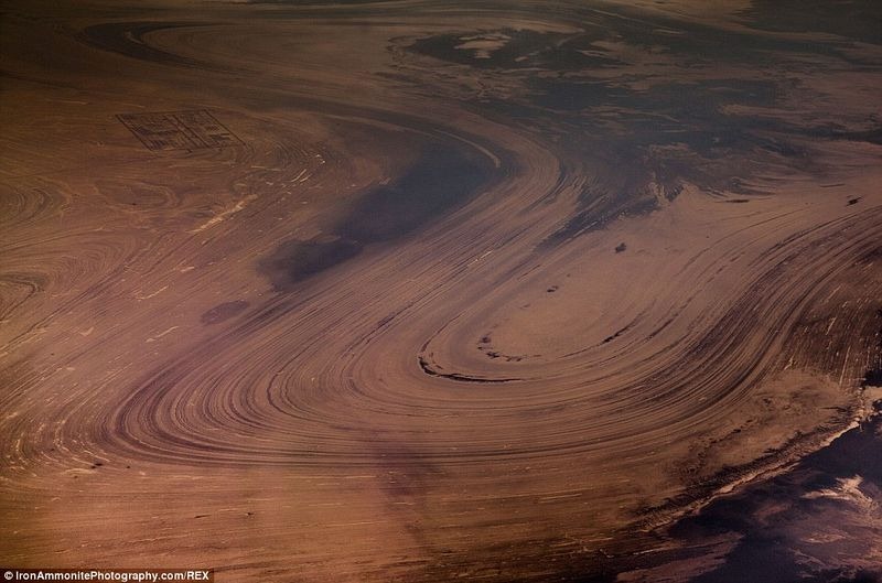
Geologists have identified about 50 large salt domes in this region. Some of the domes have been eroded away by wind and rain exposing its cross-section.
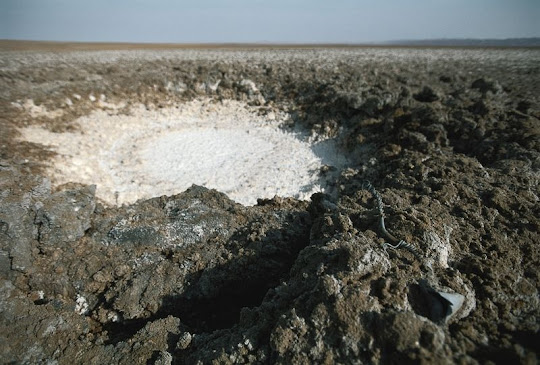
Although it looks like a hard surface, the salt crust is only a few inches thick, below which lies soft grease-like mud the Iranians called “Charbeh” that is extremely difficult to get out of if one were to get stuck. Because of this travelling in Dasht-e Kavir is extremely dangerous. The soil is sterile and not suitable for cultivation. The desert is almost uninhabited and only partly explored. Human settling is restricted to scattered oases, where wind-blocking housing constructions are raised to deal with the harsh weather conditions. Some live in the hills and the surrounding mountains. Wild sheep, camels, goats and Persian leopards also live in the mountainous areas.


An aerial view of the eroded salt dome in the Dasht-e Kavir.
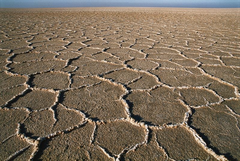
Salt flats in a low point of the Dasht-e Kavir.

Strong dry winds have dried the surface of this salt river into a web of hair-like salt crystals. Their orientation preserves a record of the wind as it blew across the surface.

The surface of a dry salt lake in the Dasht-e Kavir shows signs of a hail or rain storm that pitted its surface.

NASA Landsat 5 satellite
Source