Waterfall Illusion at Mauritius Island

Mauritius is an island nation in the Indian Ocean about 2,000 kilometres (1,200 mi) off the southeast coast of the African continent. Mauritius was first discovered by the Arabs in 975 AD, then by the Portuguese between 1507 and 1513. Since then there have been periods of succession and colonization between the French, Dutch and British. The island became a republic in 1968.

Located at the Southwestern tip of the island you will find a fascinating illusion. When viewed from above, a runoff of sand and silt deposits creates the impression of an ‘underwater waterfall’. Satellite views (as seen in the Google Maps screenshots below) are equally dramatic, as an underwater vortex seemingly appears off the coast of this tropical paradise.


Le Morne Cultural Landscape
Towering high above is Le Morne Brabant, a basaltic monolith with a summit 556 m (1,824 ft) above sea level. The summit covers an area of over 12 hectares (30 acres) and is situated on Le Morne Brabant peninsula. The area (Le Morne Cultural Landscape) is also recognized by UNESCO as a World Heritage Site:

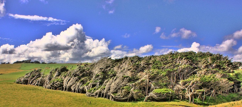
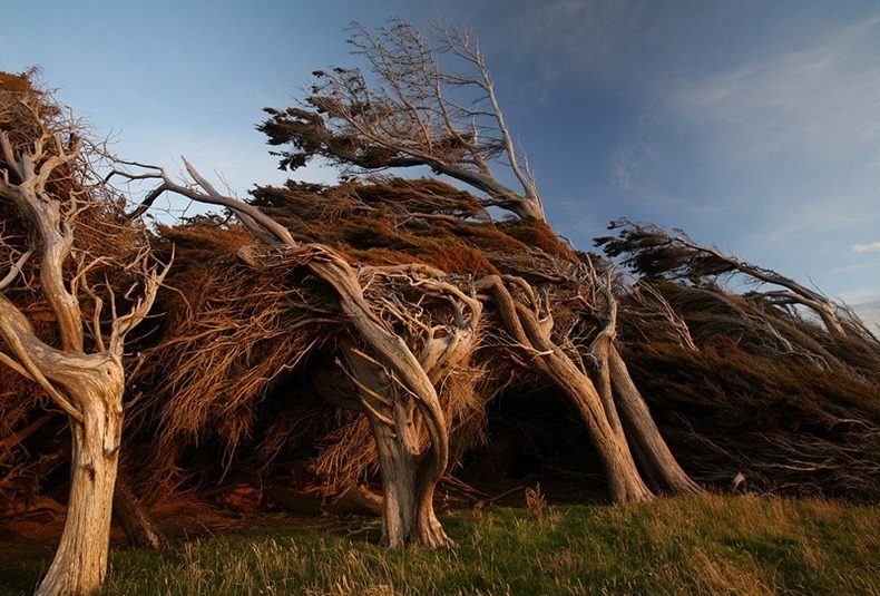
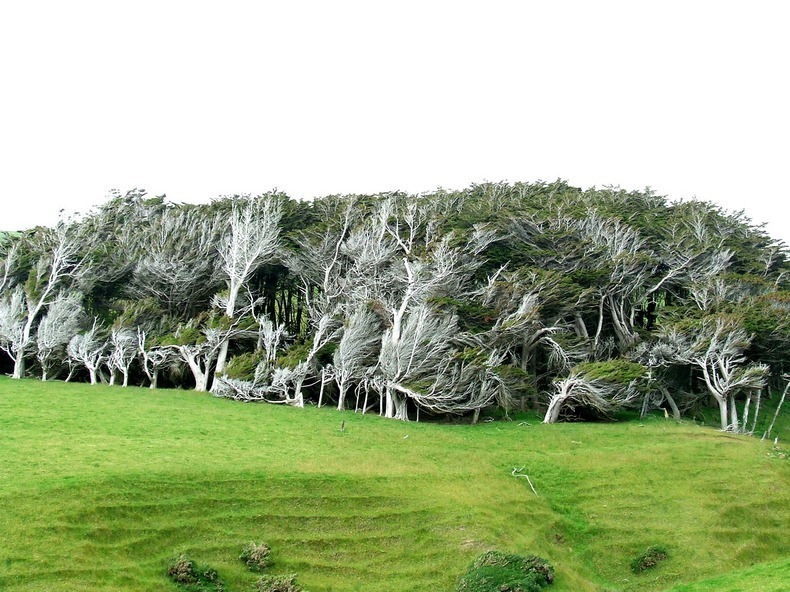
Le Morne Cultural Landscape, a rugged mountain that juts into the Indian Ocean in the southwest of Mauritius was used as a shelter by runaway slaves, maroons, through the 18th and early years of the 19th centuries. Protected by the mountain’s isolated, wooded and almost inaccessible cliffs, the escaped slaves formed small settlements in the caves and on the summit of Le Morne. The oral traditions associated with the maroons, have made Le Morne a symbol of the slaves’ fight for freedom, their suffering, and their sacrifice, all of which have relevance to the countries from which the slaves came – the African mainland, Madagascar, India, and South-east Asia. Indeed, Mauritius, an important stopover in the eastern slave trade, also came to be known as the “Maroon republic” because of the large number of escaped slaves who lived on Le Morne Mountain. [Source: whc.unesco.org]


Source
READ MORE»

Twisted, Warped & Bent Trees in Slope Point, New Zealand

Slope Point is the most southern point of New Zealand’s South Island. The region is consistently lashed with fierce and cold southwesterly winds that blow up from Antarctica. The wind here is so intense and relentless, that the trees are twisted, warped and forever bent along the direction the wind blows. Slope Point is predominantly used for sheep farming, and aside from a few sheep, no humans or other animals live on this part of the island. There are a few derelict shacks built under the protection of the windswept trees, but even those are abandoned.

Spectacularly steep cliffs drops down to the sea below. The views are truly amazing over the rocky coastline and surrounding cliffs. There is a small signpost that shows the distance to the Equator and the South Pole, and a small solar-powered lighthouse stands on the farmland.

There are no proper roads to Slope Point, but it can be reached by a 20-minute walk following dilapidated yellow markers.


Source
READ MORE»

Cueva de las Manos, Patagonia Argentina

Prehistoric rock paintings, handprints and stencils span all continents, and began appearing on rock walls around the world at least 30,000 years ago. But Cueva de las Manos in Patagonia contains an exceptional assemblage of cave art.

“Cueva de las Manos”, literally “the Cave of Hands”, is located in Río Pinturas, in the province of Santa Cruz, Argentina, 163 km south of the town of Perito Moreno. The cave gets its name from the cluster of stenciled outlines of human hands that appear on the cave walls. These rock paintings were made by hunter-gatherer communities estimated to have lived between 13,000 and 9,500 years ago, as determined from the remains of bone-made pipes used for spraying the paint on the wall of the cave to create silhouettes of hands.

The entrance to the cave is screened by a rock wall covered by many hand stencils. Most of the hands are left hands, which suggests that painters held the spraying pipe with their right hand. Within the rock shelter itself there are five concentrations of rock art, later figures and motifs often superimposed upon those from earlier periods. The paintings were made with natural mineral pigments - iron oxides for red and purple, kaolin for white, natrojarosite for yellow, and manganese oxide for black - ground and mixed with a binder, the nature of which is unknown.


Besides hand prints, there are also depictions of human beings, and animals such as guanacos, rheas, and felines, as well as geometric shapes, zigzag patterns, representations of the sun, and several hunting scenes. The hunting scenes portray a variety of hunting strategies with animals being surrounded, trapped in ambushes, or attacked by hunters using their throwing weapons, round stones known as bolas. Some scenes show individual hunters and others groups of ten or more men.

The paintings belong to three distinct cultures. The first human group were long-distance hunters whose main prey was the guanaco. Around 7,000 BC a second cultural level can be identified, distinguished by hand stencils. Hunting scenes are no longer found during this age. There are also some examples of stencils of the feet of the American ostrich (ñandú). This culture lasted until circa 3300 BC, when the art became more schematic and included highly stylized zoomorphic and anthropomorphic figures.

The final cultural began around 1,300 BC. Its art executed in bright red pigments, concentrated on abstract geometric figures and highly schematic representations of animals and humans. It is believed to have been the work of the historic Tehuelche hunter-gatherers who were inhabiting the vast area of Patagonia when the first Spanish traders and settlers arrived. It was the creation of vast cattle ranches that brought their way of life to an end.


Source
READ MORE»